Trail length:
300 m with an altitude difference of 70 m (to the source 100 m)
Trail duration:
30 min (up to the source 10 min)
Difficulty level:
Medium (up to source easy)

Trail length:
300 m with an altitude difference of 70 m (to the source 100 m)
Trail duration:
30 min (up to the source 10 min)
Difficulty level:
Medium (up to source easy)
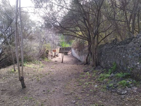
The district of S. Opolo gives its name to a nature trail that connects the Promontorio plateau with the coastline below. Along Via Addolorata, past the church of the same name, you enter Via Bevaceto; from here, the first crossroads on the right leads to the entrance of the path. This is an ancient mule track used by the inhabitants of the Capo to reach the stretch of coast below; it ends in a space in front of a well-known seaside restaurant, which stands in the place of one of Milazzo's six tuna fisheries.


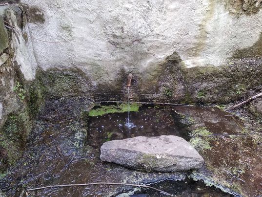
Following the path, from its starting point we proceed for about a hundred metres to a flight of stone steps leading to a quadrangular room without a roof. Here we find the spring of Sant'Opolo; the water gushes out clear from a cinnamon in the wall, in front of which are two large wash-houses that the people of Capri used in ancient times. In a timeless atmosphere, one can fully enjoy the lush nature, accompanied only by the flow of the clear water from the spring.
On the way up, one can decide to take a small road to the right; this leads to another side street, Via Bevaceto, which allows one to return to the starting point. Piaggia asserts that the 'contrada di S. Opolo' is so called because there used to be a medieval church dedicated to the Catanese deacon Saint Euplius Martyr, which was destroyed in the 17th century. The historian Perdichizzi had already narrated about the history of the ancient place of prayer. The presence of the spring, on the other hand, is attested by an 18th century Spanish map, which reads 'Fuente de S. Opolo es manantial que da bastante agua'.
Isgrò C. Guida alla natura di Capo Milazzo, Milazzo 2016
